


AI-Enabled Remote Sensing and Geospatial Analysis Transform Wind Turbine Siting


Wind energy is an essential component of the U.S. energy future. The cost of wind-generated electricity has dropped dramatically in recent years, making it fully competitive with new fossil-fuel power plants. As utilities, developers, and governments accelerate their renewable portfolios, the pressure to identify viable wind turbine locations faster, cheaper, and with greater precision, continues to grow. Yet wind siting remains one of the most complex forms of energy-infrastructure planning. Developers must navigate environmental constraints, topography, land-use compatibility, regulatory requirements, community impacts, and long-term performance considerations before a single turbine is constructed.
Historically, this process has relied on manual evaluation, siloed data sources, and extensive fieldwork. Today, however, the emergence of AI-enabled remote sensing and geospatial analytics is reshaping what is possible. Environmental consulting firms are integrating these technologies into their renewable-energy practices to help clients identify optimal locations, minimize environmental impacts, accelerate permitting, and streamline long-term monitoring at a level of accuracy and speed that was not achievable even five years ago.
Siting with AI
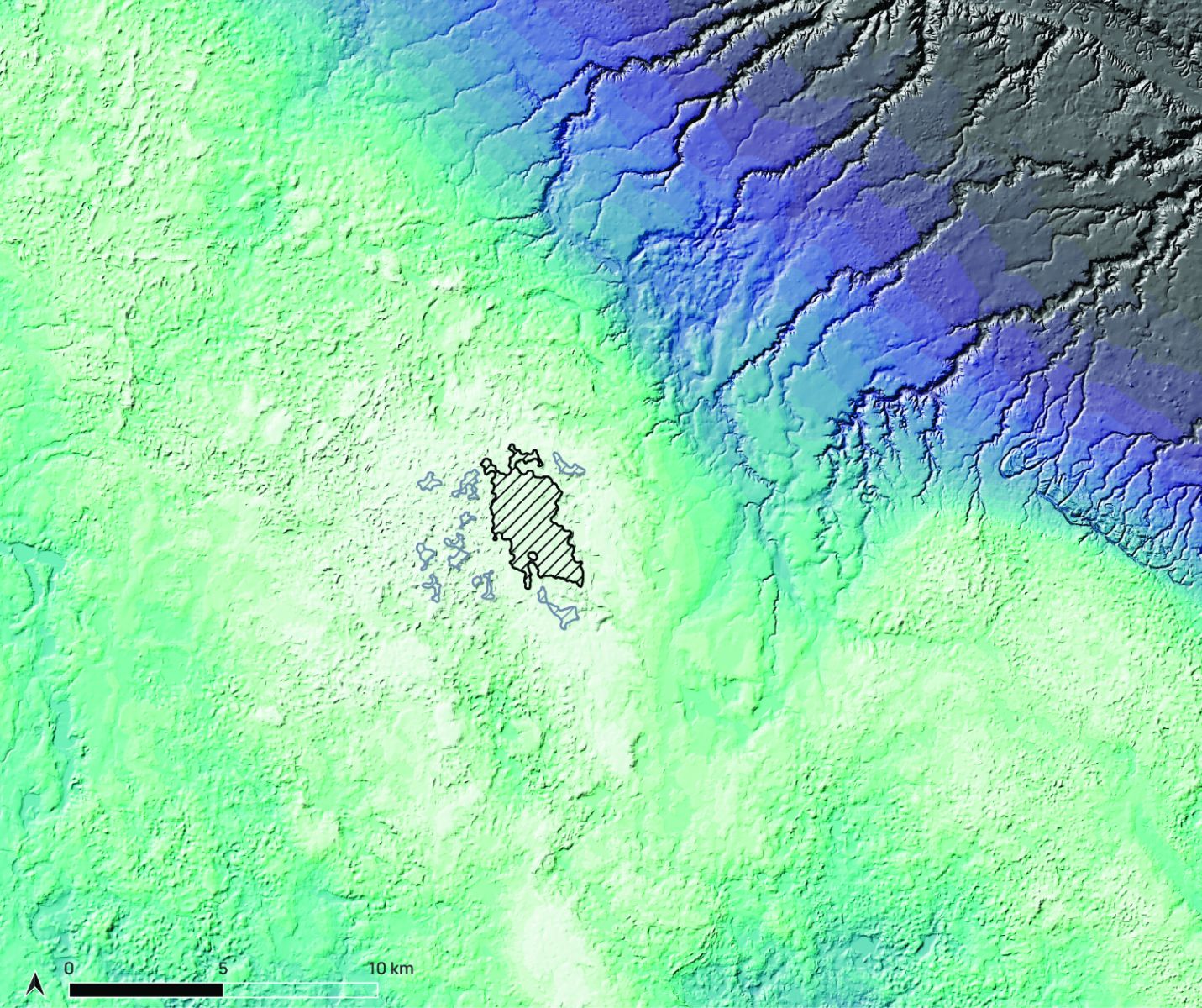
AI fundamentally changes wind siting because it can analyze enormous volumes of spatial, environmental, and operational data in minutes rather than months. Machine-learning algorithms synthesize satellite imagery, airborne LiDAR, historical weather records, terrain models, parcel data, environmental constraints, and community-impact indicators. The result is a decision-support framework that rapidly identifies areas with the highest wind potential and lowest environmental or social conflict.
For wind-resource modeling, AI enhances the interpretation of mesoscale and microscale wind data, producing highly localized predictions of wind speed, turbulence, and long-term generation potential. When paired with automated image analysis and GIS-based suitability models, environmental consulting firms can deliver multidimensional siting assessments that account not only for wind quality, but also access and constructability, wildlife considerations, landowner patterns, and other real-world constraints that influence project success.
Before AI
- Manual data collection
Traditional siting approaches required hand-collecting datasets from multiple agencies, converting them into usable formats, and stitching them together manually. This process consumed substantial time and often resulted in incomplete or non-standardized data.
- Physical surveys
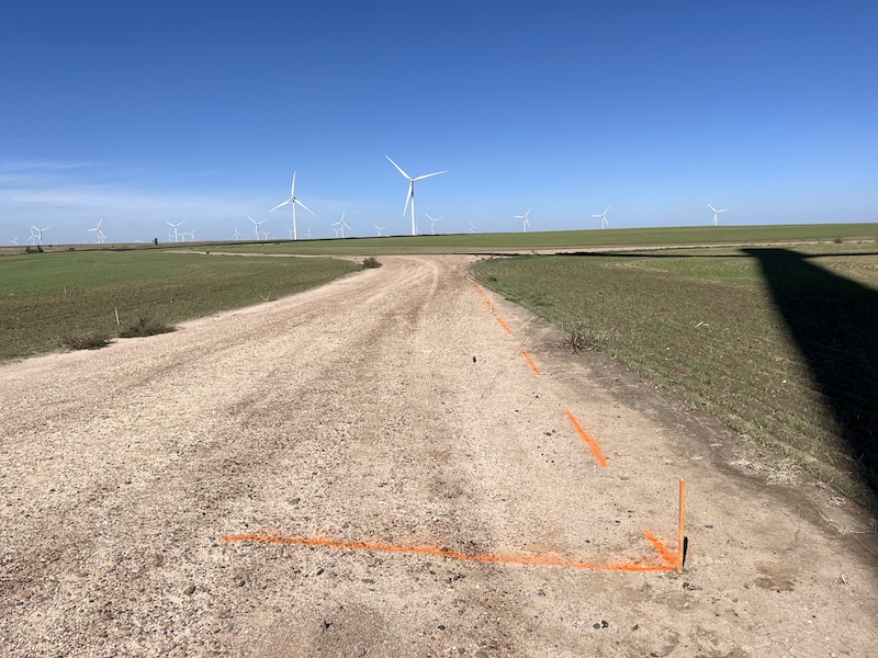
Field biologists, engineers, and planners conducted many on-site assessments that required weeks or months of travel and labor. While essential, these surveys are resource-intensive and inherently limited in geographic scope.
- Limited scope & data
Pre-AI workflows typically focused on only a few variables at a time, such as wind speed, land availability, environmental constraints, because integrating large, multi-layered datasets was difficult and costly. That often meant potential issues were discovered late in the process.
- Reactive problem solving
Developers frequently encountered permitting obstacles, community concerns, or environmental conflicts after significant investments had already been made. Without predictive capabilities, mitigation became reactive rather than proactive.
With AI
- Faster and cheaper
AI automates data ingestion, cleaning, and analysis. What once took weeks – assembling environmental layers, modeling slope and access, analyzing land-use conflicts – can now be produced in hours. This accelerates early-stage screening and dramatically reduces soft-costs.
- More accurate and comprehensive
AI models process high-resolution imagery, LiDAR, and surface data at a level of detail that exceeds human interpretation. These tools detect subtle terrain changes, hydrologic features, and habitat patterns that directly affect turbine siting, foundation design, and long-term performance. Developers gain a holistic, multi-variable assessment that improves decision-making and reduces project risk.
- Proactive and predictive
Predictive analytics can forecast where environmental or permitting conflicts are likely to arise before they become obstacles. From wildlife-movement modeling to erosion-risk prediction, AI helps developers prioritize low-impact, high-probability sites while avoiding costly surprises.
- Scalable
AI and remote sensing enable consistent evaluations across hundreds or thousands of acres. This allows firms to support regional or multi-state wind portfolios with standardized criteria and comparable outputs, something that was extremely difficult with traditional field-heavy workflows.
Additional key considerations
Visual and noise impact assessment — High-resolution imagery and terrain models help evaluate potential viewshed impacts and proximity to sensitive receptors. These insights support community engagement and help mitigate aesthetic or noise concerns early in the planning process.
Ecological and wildlife considerations — AI-driven habitat analysis, species-distribution modeling, and conservation-zone overlays allow developers to avoid ecologically sensitive areas. This reduces permitting challenges and ensures alignment with federal and state wildlife-protection requirements.
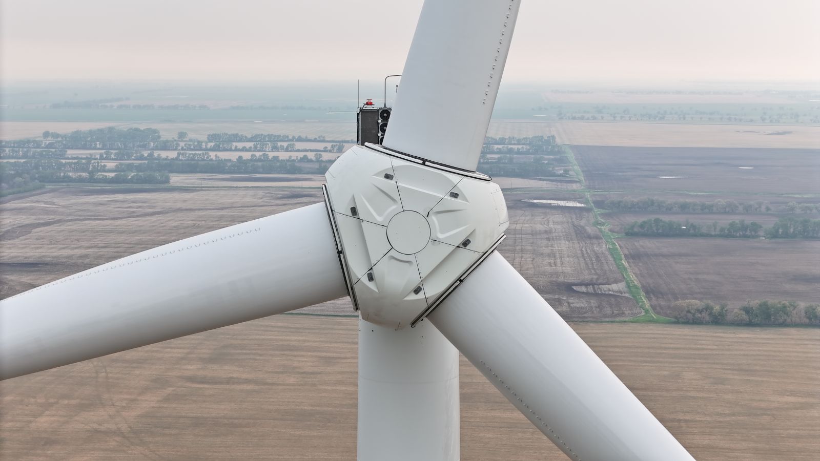
Lifecycle monitoring: AI beyond the siting stage — Once turbines are operational, environmental consulting firms leverage the same technology for ongoing environmental monitoring and asset protection. Using high-resolution imagery, change-detection algorithms, and automated geospatial analytics help identify:
- encroachments
- erosion and sediment movement
- vegetation overgrowth
- access-road degradation
- subsidence or localized geotechnical issues
- ROW compliance concerns
These systems allow operators to transition from periodic, manual inspections to continuous, remote, automated monitoring, reducing O&M costs while improving regulatory compliance and long-term infrastructure performance.
AI-enabled remote sensing and geospatial analysis represent a transformative shift in how wind projects are planned, permitted, and maintained. By integrating these technologies into project workflows, environmental consulting firms deliver a siting and monitoring solution that is faster, more data-rich, more predictive, and more sustainable. As the demand for wind energy grows, and development footprints expand into more complex landscapes, AI will play a central role in ensuring that renewable energy expansion is both efficient and environmentally responsible.
Jennifer Martin is Geospatial Program Manager at Earth Systems. As a data scientist, Jennifer has more than 11 years of experience performing complex scientific analyses to address interdisciplinary challenges using remote sensing imagery and machine learning. She is skilled in collaborating with foresters, arborists, environmental scientists, geologists, and land managers to produce actionable insights through field-collected data, spatial analysis, and AI-based modeling. Jennifer holds a bachelor’s degree and master’s degree in geoscience from Murray State University. She can be reached at: [email protected]
Earth Systems | www.earthsys.net
Author: Jennifer Martin
Volume: 2026 January/February