


Build Resilient, Efficient Solar Pipelines with GIS and Integrated Infrastructure Data


The pressures solar developers face are growing as fast as the demand for the sites they’re racing to build. Renewable energy installation will likely continue its unprecedented trajectory, having averaged 28 percent annual expansion in the last decade with an additional 43 GW of power expected each year through 2030. As momentum increases, the need to quickly identify viable sites while managing complex regulations and grid interconnection is intensifying.
Geographic Information Systems (GIS), when combined with infrastructure data streams, are among the most powerful solutions available to solar developers. They offer an integrated approach to evaluating potential sites, assessing risks, and making strategic decisions that determine project viability.
GIS provides a solid foundation for strategic planning platforms
Modern solar development requires the collective evaluation of dozens of variables, ranging from solar irradiance and topography to transmission capacity and environmental limitations. GIS platforms serve as a central hub for these complex datasets, simplifying the extraction of actionable insights. Unlike traditional approaches — which force teams to chase information by toggling between sources like county records, utility maps, and environmental databases — GIS consolidates critical information into a unified view.
The system lets teams overlay transmission lines, substations, voltage classes, and capacity constraints with land use data, protected habitats, flood zones, and weather patterns. With a holistic perspective, it’s easier to see opportunities and risks that might remain invisible when data sources are analyzed separately. Development teams avoid weeks of fragmented information gathering; instead, they can evaluate site potential in hours. This advantage allows them to quickly rank prospects based on comprehensive criteria such as grid connectivity, environmental feasibility, and regulatory compliance factors.
Environmental factors often present some of the costliest surprises in the solar industry. Wetlands, protected habitats, historical flood zones, and cultural resources can derail initiatives well into the development process. GIS enables proactive risk assessment by layering ecological datasets with potential locations, revealing restrictions before significant resources are invested. One study on solar site identification showed GIS able to cut 82 percent of the initial land areaafter conducting an environmental and technical analysis, underscoring its value in helping users save time and money by swiftly eliminating unsuitable options.
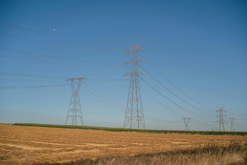
Infrastructure mapping supports long-term project viability
Solar projects are lengthy investments, requiring decades of infrastructure planning that extends beyond current grid conditions. GIS platforms integrate historical grid development patterns, pending transmission upgrades, and regional growth estimates to inform long-term viability assessments.

By analyzing transmission corridor trends and utility infrastructure investment plans, developers can identify areas where grid capacity will expand to meet rising demand. This forward-looking evaluation helps teams select sites that stand to benefit from future enhancements instead of being held back by current limitations.
Solar resource assessment also requires the examination of weather data, irradiance measurements, and local climate patterns that date back years. Using GIS to combine these data streams with topographical information allows for more accurate modeling of site-specific solar potential. With a complete picture, it’s easier to understand how local terrain features (ridgelines, valleys, elevation changes) affect solar exposure throughout the year. Teams can optimize layouts by flagging options with maximum solar potential while avoiding locations where topography creates shade or weather-related performance challenges.
Enhanced features and workflows boost stakeholder engagement
Modern solar development involves numerous stakeholders, including internal teams, external consultants, regulatory authorities, and community representatives. Fortunately, GIS platforms offer shared illustration tools that improve communication and coordination across these diverse groups. Visual intelligence is indispensable. Rather than relying on narrative descriptions or complex spreadsheets, teams can provide clear renderings and spatial analyses that demonstrate due diligence and support project viability claims.
The technology also enables the creation of project-specific maps highlighting key features, constraints, and proposed development areas. These displays and visual resources streamline workflows to facilitate more productive stakeholder meetings, clearer regulatory presentations, and more effective community engagement processes.

GIS’s strategic advantage comes down to implementation
A well-integrated GIS should seamlessly span across all phases of a solar project to reduce information gaps — from the conceptual phase all the way through detailed planning and engineering phases. Users can visualize preliminary site layouts by combining environmental and infrastructure insights and refining inputs based on spatial limitations and opportunities. By maintaining consistent data foundations across the development process, teams can ensure early land assessments remain relevant through every project phase.
Throughout the project lifecycle, investment in GIS technology and integrated data analysis drives long-term value. From initial parcel identification through final project commissioning, spatial intelligence supports more informed decisions and minimizes the possibility of pitfalls. The subsequent competitive gains add up over time.
The solar industry’s rapid growth means developers who are eager to succeed must take every advantage available to them in site selection, risk assessment, and strategic planning. GIS and interoperable workflows are essential tools for building resilient, efficient solar pipelines that deliver consistent results in an increasingly competitive marketplace.
As General Manager of Latapult. Chris Nichols brings more than 30 years of experience in GIS and remote sensing technology. He has channeled his passion for creating simple yet powerful geospatial solutions into a career dedicated to advancing the way organizations use data to make faster, smarter decisions. With the collaborative spirit and dynamic energy of a multifaceted team, Chris excels at guiding full-cycle product development from concept to market. He a licensed Professional Land Surveyor (PLS), certified GIS Professional (GISP), and holds a Master of Science in Environmental Studies with a concentration in Geographic Information Systems and Remote Sensing from the Medical University of South Carolina, as well as a Bachelor’s degree in Anthropology/Geology/Earth Science from the University of South Carolina.
Latapult | latapult.com
Author: Chris Nichols
Volume: 2025 November/December