


A Better Way to Site Projects: Multispectral remote sensing for landcover classification


Identifying trees, grasslands, and wetlands on landscape-scale project sites has never been simple or clear-cut.
Aerial photos are subject to divergent interpretations. Field surveys incur higher costs from hours spent documenting and mapping observations, and datasets such as the National Land Cover Database can be too coarse to capture nuances in the terrain.
While landscapes change constantly, regulatory officials request information that’s up-to-date, precise, and scientifically valid.
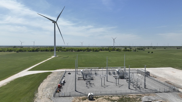
All are reasons why multispectral remote sensing has emerged as an efficient and cost-effective method for siting infrastructure on vast land areas. The technology is perfectly suited for the early-stage land-cover classification necessary for renewable energy installations and corridor projects – whether they are rail, roadway, or electrical transmission.
Remote sensing decoded
Remote sensing technology uses sensors typically mounted to satellites, airplanes, or drones to quantify sunlight reflected off the Earth’s surface. The sensors read bands of electromagnetic radiation – wavelengths of light and energy – that can be used to classify different types of ground cover.
Each land cover type produces a distinct light reflectance signature that allows for such classification. Human-made objects, vegetation, water, snow, and bare soil all reflect light in a manner that is unique and distinguishable.
Additionally, the sensing technology can distinguish between big classes of vegetation, telling trees from grass and grass from crops. It can also be used to monitor vegetation health, making the technology proficient not only for vegetation classification, but plant management as well.
The history of multispectral remote sensing traces to the early 20th Century with the advent of aerial photography. In 1972, NASA and the U.S. Geological Survey (USGS) jointly launched Landsat, a program that gathers and catalogues remote sensing data. Still going strong, the program has been making multispectral imagery freely available for more than 50 years.
In the past, however, the size and complexity of the data made analysis in the private sector prohibitively expensive, which left it to realm of the USGS and well-funded research institutions.

Customizable and repeatable
Today, thanks to advancing technology, satellite data sets with accuracy to about 10 meters can be obtained for free. In addition, sub-meter datasets can be acquired using planes, drones, and hand-held sensor units. Geospatial specialists trained with the proper software can analyze the data quickly so that landscape features are current.
Conducting a land-cover analysis in-house also allows customization of parameters to fit specific project types. For example, if a developer is interested only in the location of trees on a project area spanning tens of thousands of acres, parameters can be set to show tree locations exclusive of other land cover types.
Multispectral remote sensing offers another key advantage for project siting because it follows a methodology published by the scientific community. Because the results are repeatable, defendable, and validated by a statistical accuracy assessment, the regulatory community prefers remote sensing over more subjective methodologies, such as photographic interpretation.
Remote sensing offers clear advantages to project developers who need to identify constraint areas as early as possible. Agencies trust the data because it follows scientific methodology. And it can conserve environmental resources by helping project planners avoid critical habitats.
Gunnar Malek-Madani is a project scientist at Olsson, an engineering firm made up of people who craft solutions that improve communities. His expertise in geographic information systems (GIS) and remote sensing serves clients in renewable energy, transportation, information technology, and land development. He holds a master’s degree in geography with an emphasis in remote sensing from the University of Nebraska. Reach Gunnar at [email protected] or 719-452-9292.
Olsson | www.olsson.com
Author: Gunnar Malek-Madani
Volume: 2024 March/April