


Shining Light on Karst Landscapes


With solar energy development poised to continue an impressive growth trend, one question must be answered: Where will all the new arrays be installed?
“Anywhere but a karst landscape,” is the answer you’ll hear from solar developers, project owners, investors, and insurers. As a standard response, however, it should be reconsidered in light of the possibility of successful development on karst terrain. This can be achieved through a greater understanding of the landform, improved planning, and proper geotechnical investigations.
Highly common, rarely understood
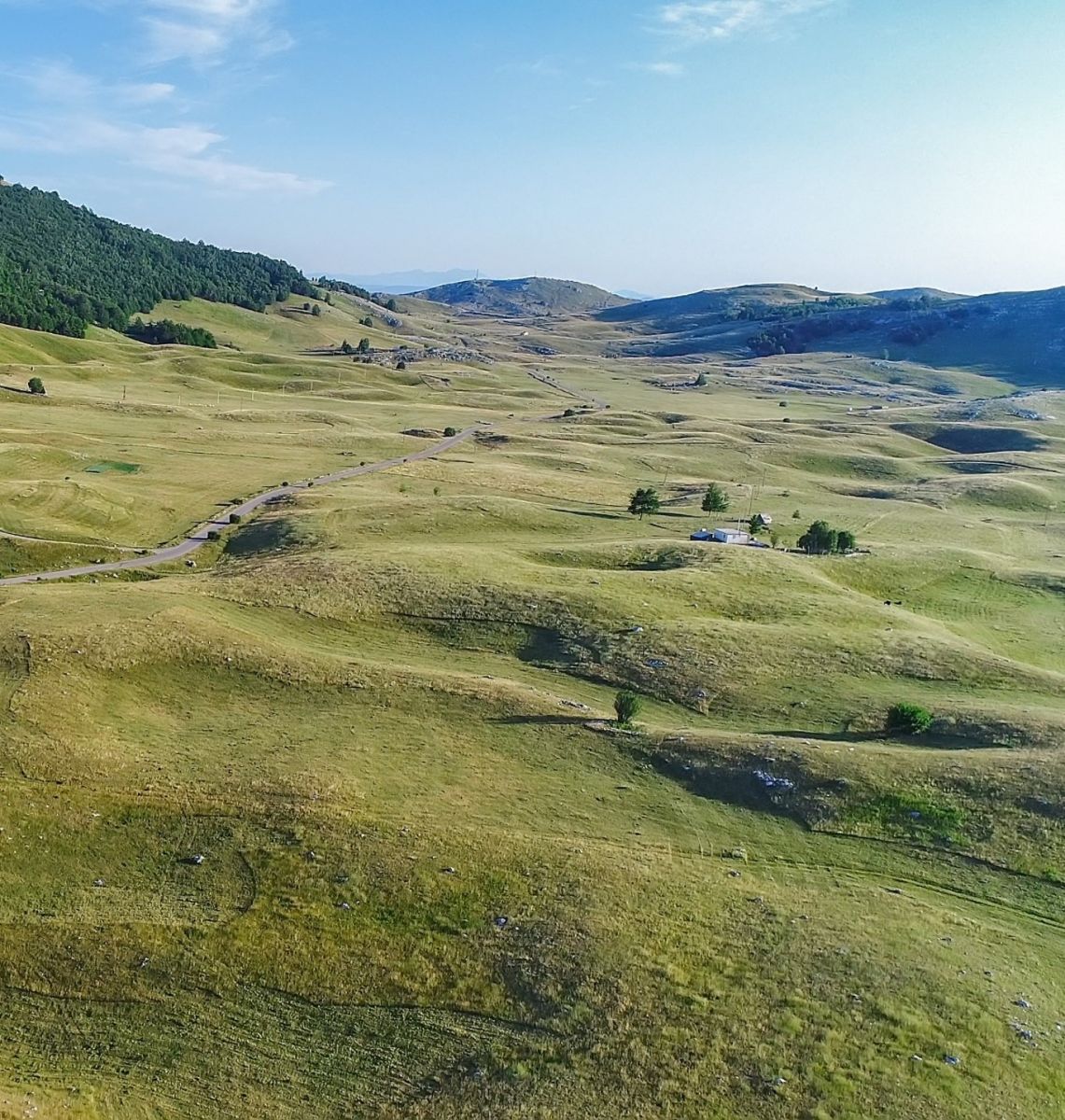
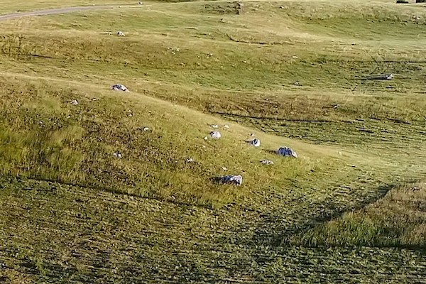
Karst refers to land areas where geological features include undulating landscapes, settling, fissures, fractures, caves, and even sinkholes. Karst is frequently composed of soluble rock types such as limestone, gypsum, and dolomite. These subterranean rock formations also store groundwater that supplies about 40 percent of the drinking water in the United States. As a result, development on karst terrain often requires state and federal environmental permitting to help protect this critical resource.
Karst landscapes are present in all 50 states and, along with related pseudo-karst areas, comprise roughly 25 percent of the nation’s land mass, according to the U.S. Geological Survey.
Considering the financial investment required for utility- and commercial-scale solar installations, project development on a karst formation certainly warrants caution. Any successful energy project must start with a solid foundation. Fortunately, a variety of geotechnical and geophysical methods can be deployed to help make that happen.
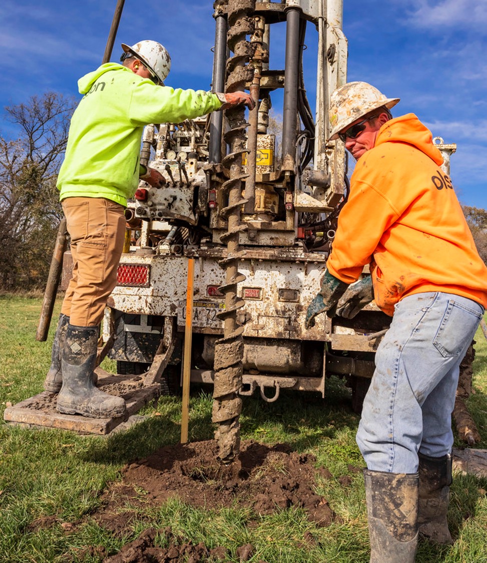 Subterranean investigations
It is important that subsurface investigations be tailored to the developer and investor stage-gate process. Like the investment process, the investigation should be designed to identify, define, and limit risks as the project advances.
The initial due diligence phase for a project located in a karst landscape begins with desktop evaluations using publicly available soil and geological information. During this stage, a high-level hydrological study is performed to understand the drainage patterns of the area. This step typically is used as an early-stage fatal flaw or cost-driver analysis for project planning.
Next, geology and geotechnical professionals conduct a field walk to examine the rocky outcroppings and depressions identified by desktop and hydrological studies. During this stage, a less-invasive geophysical investigation, such as an electromagnetic survey, can be performed to gather data over a large area in a short amount of time. This type of survey uses electric current to detect dissimilar subsurface materials, identify potential hazards, and pinpoint key areas that can be investigated in greater depth using geotechnical and geophysical methods.
On reaching final stages of development, a full-scale geophysical and geotechnical investigation should be conducted. The goal is to target and understand the limits of the potential hazards while also gathering data necessary for design. This stage is marked by a more labor-intensive geophysical investigation, using either seismic refraction tomography or electrical resistivity tomography to capture imaging of sub-surface structures in the areas of interest.
Additional ground truth investigation methods can be used in focus areas, which include the following:
- Soil borings with rock coring and laboratory testing
- Cone penetration testing (CPT) for areas lacking hard subgrade conditions
- Test pit explorations for shallow rock sites
Karst design and remediation
Once the investigation process is completed and the potential site risks are better defined, design strategies may be implemented.
Controlling groundwater at the site is essential to the design. Disturbing the natural drainage and affecting the recharge rate may upset the equilibrium of the area and accelerate the development of depressions. Positive drainage should be designed and maintained during construction, and best management practices should be used to reduce ponding water and sedimentation. Designs should also implement a 100-foot radius vegetative buffer zone from features identified by the subsurface investigation.
Construction disturbance introduces the possibility of sinkhole formation. Developers can protect themselves by including a standard detail and estimated quantities for sinkhole remediation in the contract documents. The standard detail should include the necessary excavation and materials to construct a drain within the sinkhole consisting of graded fill material, filter fabric, and surficial fill soils.
Once construction is completed, scheduled maintenance of the facility should include a visual observation of the site for ponding water. The standard detail for sinkhole remediation should be a part of the operations manual, so that repair crews can be mobilized quickly should ponding be observed.
Site investigations, design techniques, and mitigation methods have been implemented to successfully construct roads, buildings, and other infrastructure on karst landscapes across the country. Renewable energy installations should be no different.
Rather than eliminate a site from consideration for potential development, the presence of karst should be explored using a set of proven methods to identify the potential risks and rewards of an otherwise desirable project location.
John T. Henning, PE, leads an Olsson Field Operations team in Nebraska. An accomplished project manager, John has worked extensively in renewable energy, land development, and transportation, among other markets. Reach John at [email protected] or 402.289.7229.
Olsson | www.olsson.com
Author: John T. Henning
Volume: 2023 September/October