


Geotechnical Surveys for Offshore Wind Farms: 5 Important Considerations


Some level of Site Investigation has been completed on every offshore wind farm to date. But what does the process entail, and how can developers plan ahead to maximize the value of these surveys, while avoiding project delays and cost overruns?
 What are geotechnical surveys?
When developing an offshore wind farm, the interaction of the turbine foundations with the seabed introduces many factors for consideration.
What are the soil conditions and characteristics? Will the seabed provide sufficient bearing capacity to support the turbine foundations? How will the soils behave under different loadings? What are the effects of wind, wave and tidal action? Will there be any changes to the soils behavior over time?
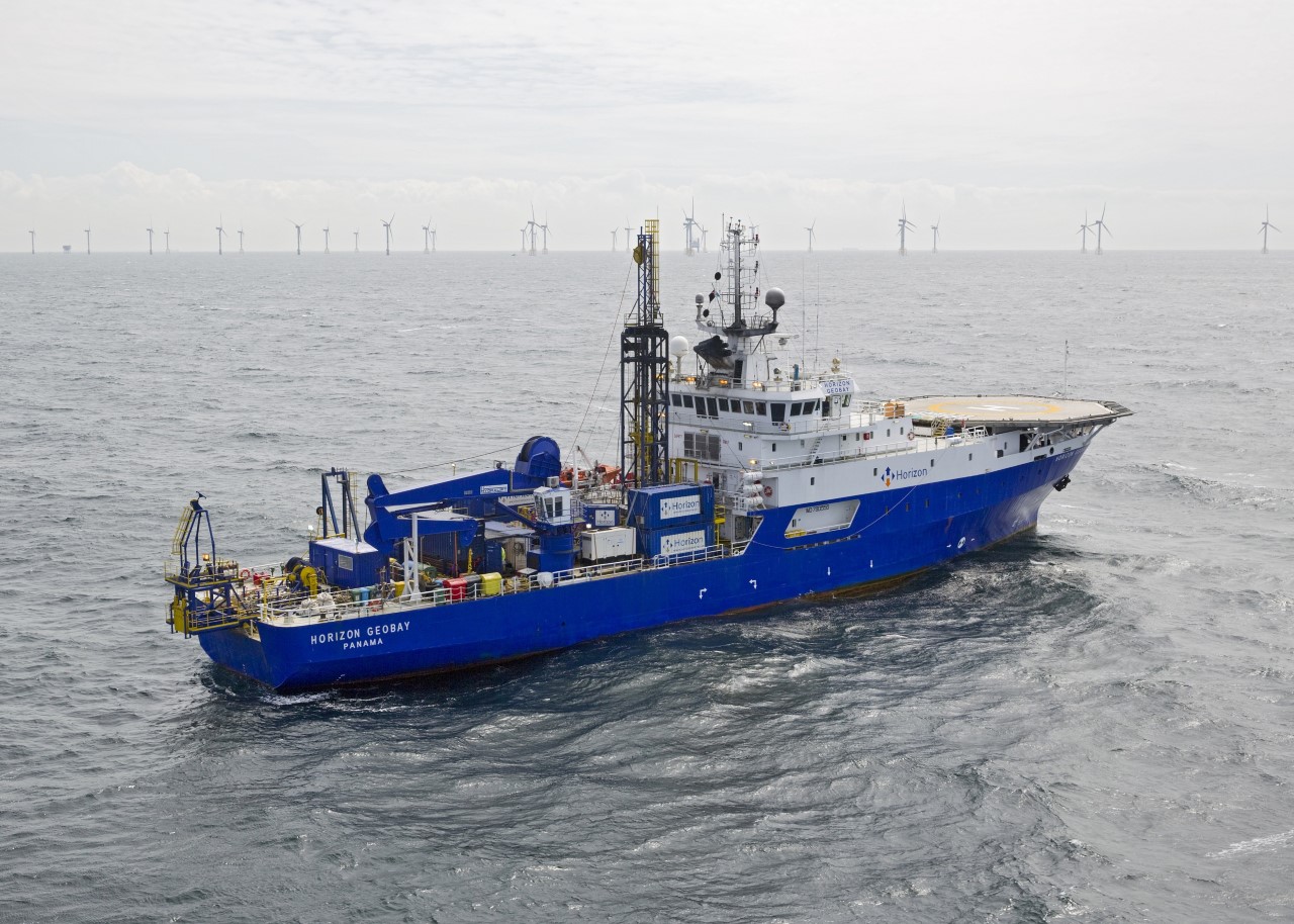
To answer these questions, let's take a two-pronged approach, consisting of both geotechnical and geophysical surveying.
Geophysical work uses remote sensing technology, such as multibeam echosounder, side scan sonar etc, to determine the nature of the seabed surface. Sub-bottom profiling work allows us to determine the composition of the seabed, while bathymetry determines the depth of the water.
Geotechnical surveying is used to 'ground truth' (in other words, to verify) the data collected during the feasibility stages of the project and geophysical surveying.
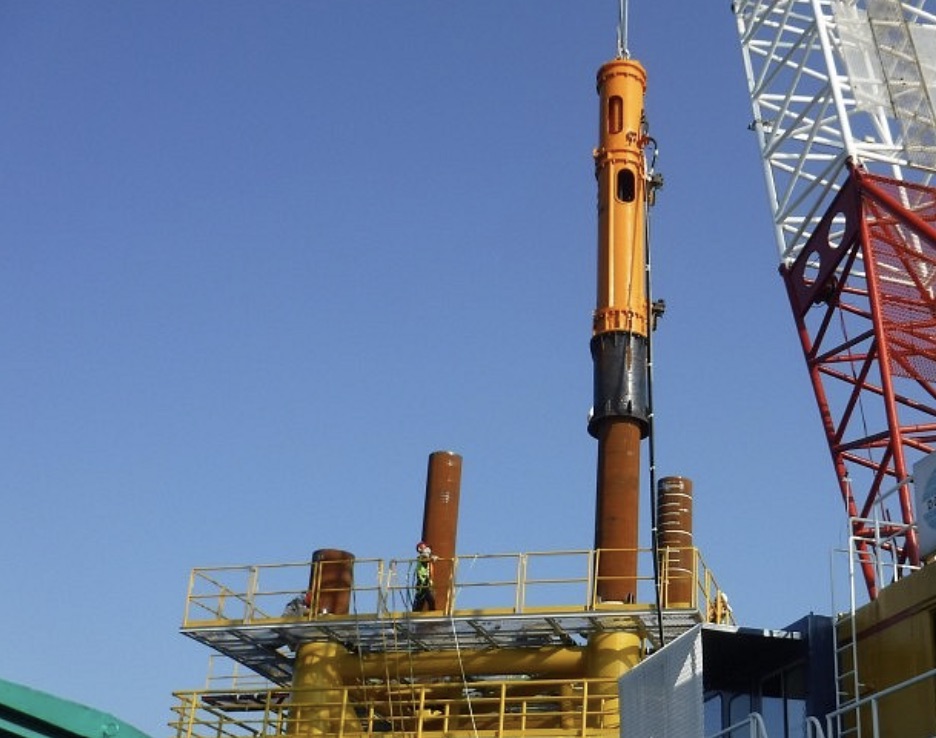
There are many different techniques that can be employed here. However, generally speaking, the survey will either obtain samples for geotechnical testing, or use an in situtest (such as a probe) to gather information through internal sensors. Geotechnical engineers will choose the optimal regime of testing and sampling for each location, taking into account the expected ground conditions and likely foundation option.
In combination, the two survey techniques provide a comprehensive data set, from which we can build a 3D model of the site. This is subsequently used to inform the foundation design of the turbines.
As the offshore wind industry advances, developers need to plan and manage the geotechnical surveying process more effectively than ever, in order to ensure that project timelines are not compromised.
Five things to consider
 Stakeholder Engagement
While often underestimated, engaging stakeholders is an important factor in ensuring that geotechnical surveys can be completed properly and on schedule. Of particular significance are wildlife organizations that lead on protecting marine mammals, and local fisheries.
Geotechnical surveying can be noisy and disruptive to local wildlife, and it's important to minimize these effects as much as possible. For example, 'soft start' drilling can minimize disturbance to sea mammals such as porpoises. Meanwhile, certain locations must be avoided to ensure seabed colonies are not disturbed; avoiding certain months of the year can allow salmon migration to occur uninterruped.
We have seen some close calls, where geotechnical survey vessels were almost held up in port due to a lack of amicable agreement between the developer and the local stakeholders. The delays, and the accompanying financial losses, can be significant.
To avoid this, it's important to engage with local stakeholders early in the process, and well in advance of beginning geotechnical survey work.
Offshore Representation
In terms of project timelines, offshore surveying is undertaken only when the feasibility stages have been completed. At this stage, desk studies, and any previous work in the area, have provided an idea of anticipated ground conditions - but these can vary from actual conditions on site.
We must therefore be prepared to tweak our survey strategy in 'real time', while onsite, to ensure the survey is undertaken safely and efficiently, as well as ensuring we get the best possible information for project design.
On one survey, a team got out to the site only to find that the seabed was too soft to support the machinery needed to drill the CPT borehole. Every time they lowered down the heavy framework, it just began to sink into the seabed. They ultimately decided to de-ballast the rig, in order to collect the data.
Making these decisions offshore, and under time pressure, can be considerably eased by the presence of a developer's representative, who is knowledgeable in geotechnical engineering, and who can weigh in on the decision-making process and help to ensure the best possible outcome.
Planning ahead
Geotechnical surveys are sensitive to adverse weather conditions, as well as delays in the planning stages and in negotiations with stakeholders. Good planning and realistic timescales go a long way towards minimizing the risk of delay.
Developers often underestimate the lead times needed to test the samples collected during geotechnical surveys. With only a handful of specialist labs in the world that offer advanced tests, such as cyclic or centrifuge, lead times can be significant. It's important to plan well in advance, to avoid project plans being held up by the lab testing stage.
Developers should also ensure that they have a buffer (both for time and budget) to allow for further investigation of unexpected soil behaviours or anomalies, if necessary.
 Understanding deeper waters
As offshore wind moves further away from coastlines - and with the advent of commercialized floating wind - developers will need to account for the longer investigation times and higher vessel costs that come with necessary surveying.
In order to survey deeper waters, geotechnical experts working in the renewables space are likely to look to the oil and gas industry for inspiration. The offshore oil and gas industry has long used technology such as Remotely Operated Vehicles (ROVs), along with more advanced techniques, to gather project site data; this approach is likely to be increasingly adopted by renewables, as the offshore wind sector advances in both ambition and scale.
Playing the long game
Finally, developers should take a holistic view when designing and constructing an offshore windfarm. Investing more heavily in the earlier stages of a project, and undertaking a detailed geotechnical survey, will mitigate the ground risk at the site and enable a much more efficient foundation design.
Knowledge is power. More comprehensive surveys mean fewer risks to the project, lowering the likely cost of the construction phase.Investing early in surveys yields cost savings later in the development process.
Cara Watson and Catherine Bradley, Lead Engineering Geologists at Longitude Engineering, a part of the leading international marine and engineering consulting firm LOC Group
LOC Group | loc-group.com
Volume: 2018 September/October